Work examples
Testing of Geodirect RSS/NMR in the USA
We inform you that in the period from February 23 to February 27, 2009 in the state of UTA, USA, the final stage of testing the innovative geophysical technology of direct prospecting and exploration of minerals “Deep Vision” (now the technology has received a new name – “Geodirect RSS/NMR”), developed by scientists and specialists of the “Institute of Geophysics and Problems of the Earth” (hereinafter referred to as the “Institute”).
Testing was carried out on an area of 3000 km2 in the Rocky Mountains, Utah, USA.
This region is one of the most complex geologically in the United States.
The testing procedure was as follows:
Previously, we were given the coordinates of the testing area about 3 thousand sq. km in order to regionally identify oil and gas sites in a remote survey mode.
At the same time, representatives of Utah oil and gas companies selected five previously drilled wells in this territory, the data on which were transferred to an independent Аrbitrator on a confidential basis.
Then the specialists of the Institute went to the area, where representatives of the commission daily delivered us to the 5 wells for their examination.
Further, at the final meeting of the commission, the results of the well survey obtained by the Institute were compared with the information on them provided by oil and gas producing companies. The work of the commission was held at the University of Utah “BYU”, with the participation of university scientists, representatives of state structures of Utah, representatives of oil and gas companies, lawyers and journalists. In addition to four our specialists, the twelve USA specialists took part in the testing of the Technology:
Test Arbiter – Vice President, Utah State Chamber of Commerce Elisabet Goryunova
- Professor of Geophysics at BYU University of Utah R.William KeachII,
- Professor of Geology at BYU University of Utah John H. McBride,
- Professor at BYU University of Utah Ray Beckham,- President of the UTA Consular Corporation, Doctor R.E. «Rusty» Butler;
- Representative of the oil producing company “MВA” Jeffrey Bahr, – Representative of the Utah State Department of Water Resources Phillip Babcockas well as other specialists and representatives of the press.
The information obtained by us in the course of groundwork was recorded, presented to the members of the commission and officially verified with the information of the Arbiter.
Comparison of the information showed 100% agreement between the results of the survey conducted using the innovative Geodirect Technology and the data of the drilled wells.
The exception was information on the 2nd oil horizon of the fifth object, where the information discrepancy was 1.5% at a depth of 9500 feet.
Thus, the practical demonstration of the capabilities of the innovative Geodirect Technology on real objects showed its unusually high efficiency (within 98% – 100%), as well as the high speed of work.
The following are the final “Commission Report” of testing and a video summarizing the testing. The video is posted on the link:

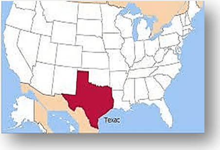
Hydrocarbons Project Texas, USA

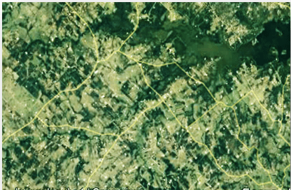
Two areas totaling 154 sq. km were surveyed on behalf of Furie Petroleum Company LLC, AGREEMENT No 1/03/2010, March 23, 2010, in the state of Texas. According to the US Company, a frac job had previously been drilled in the eastern area, which turned out to be empty. The customer contacted us.

We identified 25 small shale gas reservoirs as a result of remote site surveys, and determined the number of horizons in them, their gas pressure and depths of occurrence and horizon thicknesses (Figure).
To the west of the sites, two gas and oil reservoirs with two oil horizons each with thick gas caps at 11m with abnormally high pressure have been identified and surveyed. Drilling points in both shale gas and gas and oil deposits have been remotely selected. The gas migration paths are shown in the sections.
It is shown that the eastern section has no prospects, it is advisable to sell it and buy the gas and oil section N1. The customer has carried out these operations and drilled a successful well at the point we have chosen in the N1 deposit (without seismic).

Below is the Client’s reference:
Gold Deposits in the territory of the Republic of Madagascar
Copper deposits in the territory of the Republic of the Congo
The target of work was revealing, identification and conturation of the deposits of copper:

Below is the Client’s reference on the territory of the Customer on the depths up to 200 m
Water project in the Sultanate of Oman
Honorary prize “Crystal water drop”
On March 22 – 23, 2019, the annual «InterEcoForum – 2019» International Forum was held in Marbella, Spain. Representatives of 20 countries took part in it.
The theme of the Forum – “Water for Sustainable Development”, opens the International Decade of Action with the same name, announced by the UN General Assembly for 2018-2028. The date of the “InterEcoForum” was timed to March 22 – the World Water Day.


